

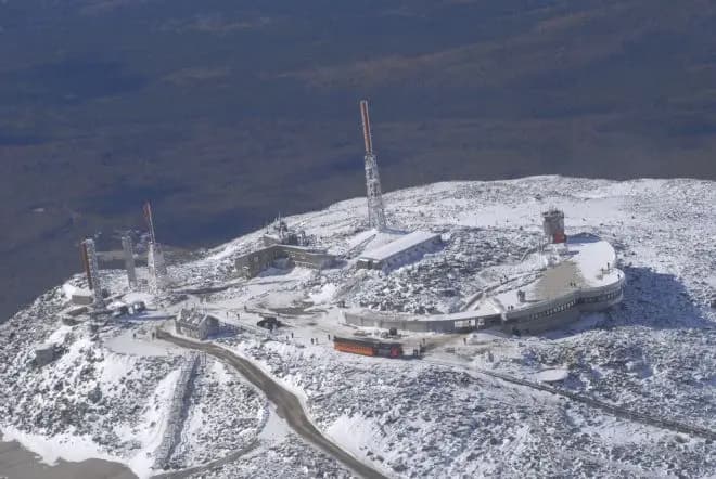
The mountain
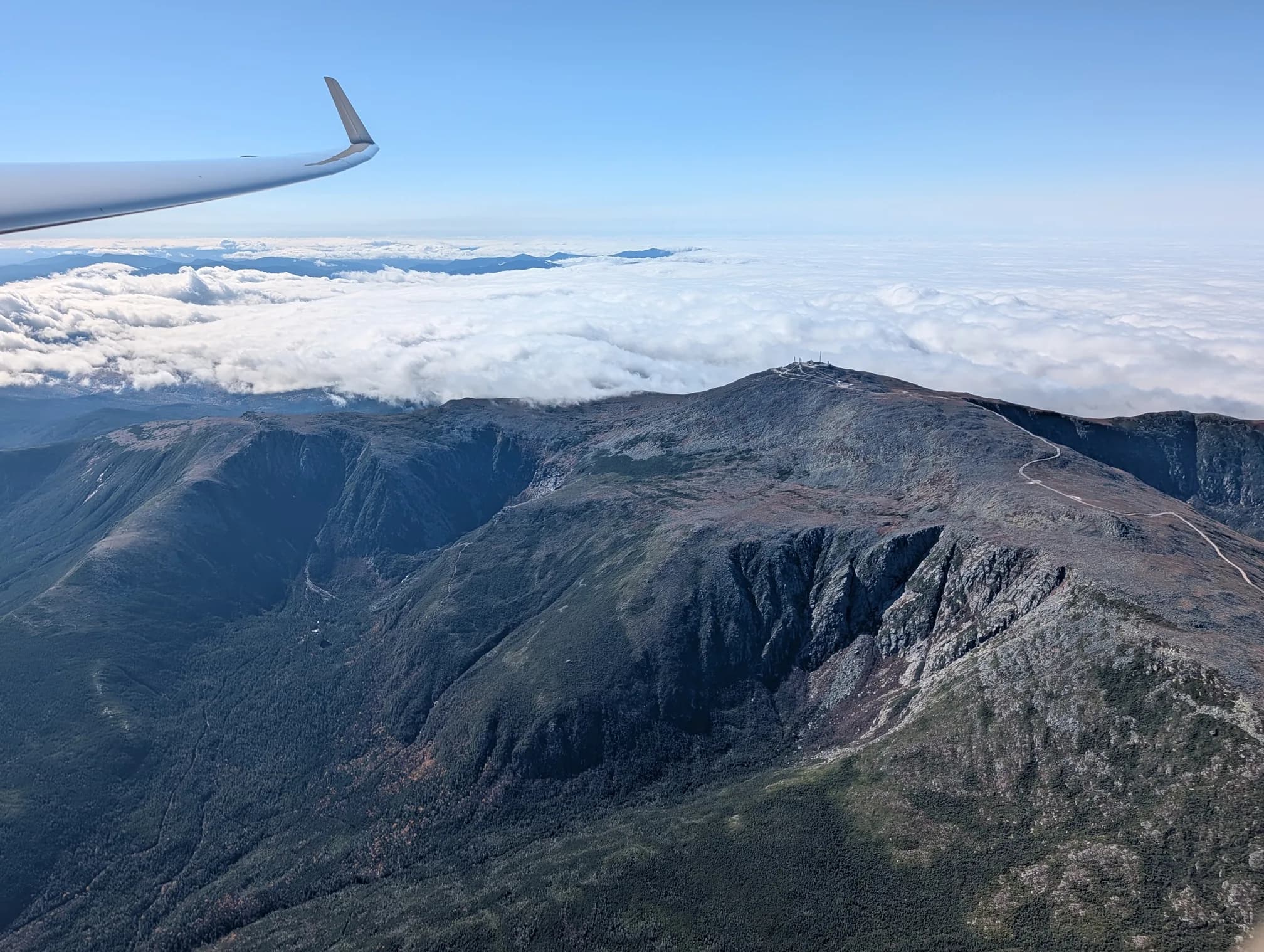
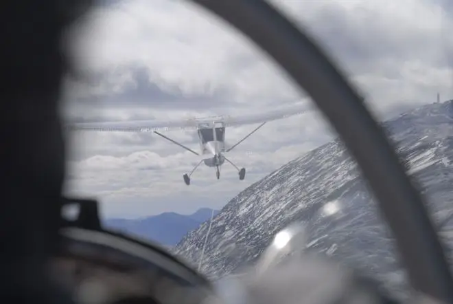
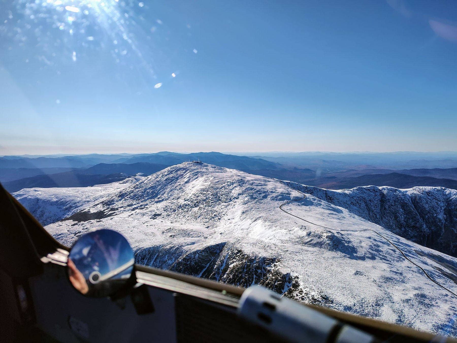
At 6,288 feet, Mount Washington anchors the Presidential Range — the highest peak in the northeastern United States and home to some of the worst weather on Earth.

Wave Camp 2026 · Gorham, NH
The camp, in review
Seven days at Gorham, four of them flying. Saturday's clear wave took the camp to its highest logged climb of 22,600 feet. Five pilots earned new badges: Gold for Chris Stokes and David Tauber; Diamond for Jared Granzow, Nelson Howe and Thomas Van de Velde.
Midweek weather kept the field quiet; Thursday closed the camp on a high note, with wave to 15,000 feet and cross-countries along the Whites and the Mahoosucs.
“Thanks to all for a successful and safe Wave Camp.”Glen Kelley's camp logbook · Thursday, October 15
Before next October
Wave camp
The annual wave camp is a private, invitation-only event for members of the four founding clubs: Franconia Soaring Association, Greater Boston Soaring Club, New England Soaring Association and Post Mills Soaring Club. It is not open to the general public.
1938
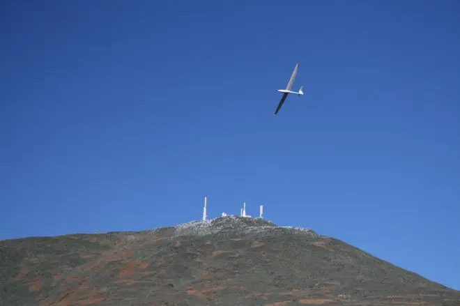
The first wave flight in the United States — Lewin Barringer, in the lee of the Presidential Range.
231 mph
The highest surface wind speed ever measured — recorded on the summit in 1934.
32,513 ft
The New Hampshire altitude record — Timothy Chow, in the Mount Washington wave, October 2018.
10+ days
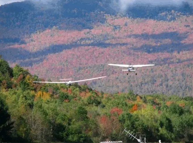
Of flying each October, based at Gorham Municipal Airport (2G8).
Who makes it happen
Founding clubs (GBSC, FSA, PMSC and NESA) and their members provide the necessary resources toward the organization, carrying out and oversight of the wave camp.
“There are many people who get together to make this happen: arranging availability of facilities at the airport, moving equipment to the airport (tow planes, gliders, golf carts), moving the runway cones to make the airport more glider friendly, then moving them back at the end, acquiring oxygen, renting porta potties, coordinating with the FAA and more. The list is extensive.”
Current conditions
Wave days are written in the vertical wind profile — a steady cross-ridge flow at altitude, with stable air through the layer. This is the live column of wind over Mount Washington from the latest model run: the same first look pilots take before heading to the field.
Vertical wind profile
Mt Washington
Why here
Three things come together at Gorham: a mountain that disturbs the wind, a standing wave that reaches the flight levels, and a group of pilots who show up every fall to use it.
At 6,288 feet, Mount Washington anchors the Presidential Range — the highest peak in the northeastern United States and home to some of the worst weather on Earth.
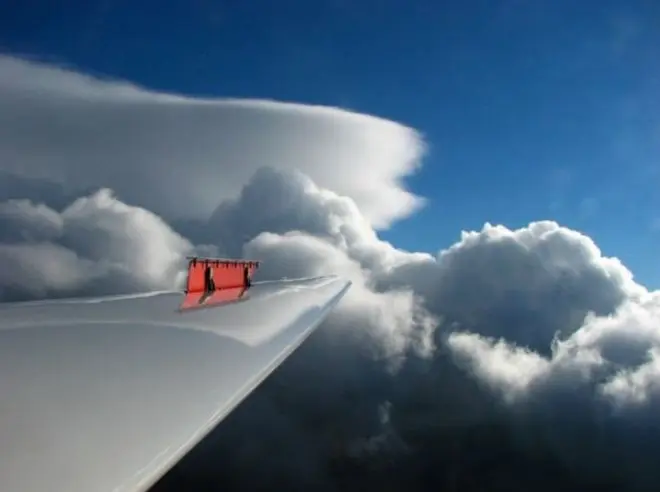
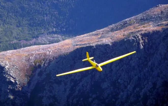
Winds forced over the ridges create a standing mountain wave. In its lift, gliders have climbed past 30,000 feet above sea level — some without ever starting an engine.
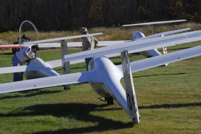
Every October since 1966, pilots gather at Gorham, New Hampshire, for the annual wave camp — more than ten days of tows, briefings and diamond climbs.
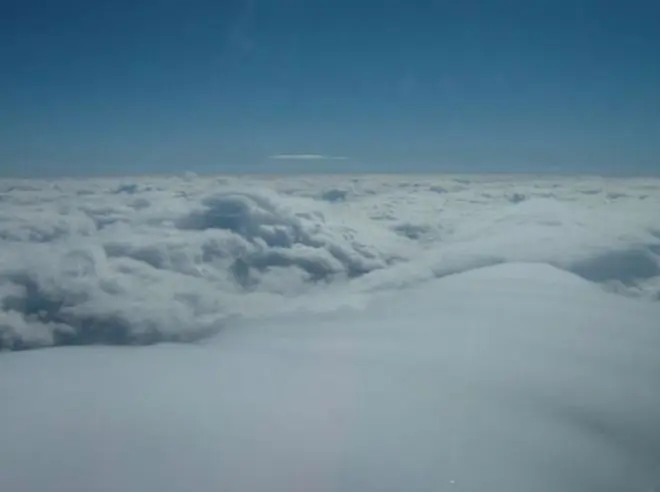
“On the last and strongest thermal I climbed over 1,500 feet above the sea of clouds until my altimeter read just over 9,500 feet.”
Photos
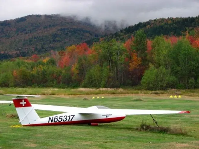
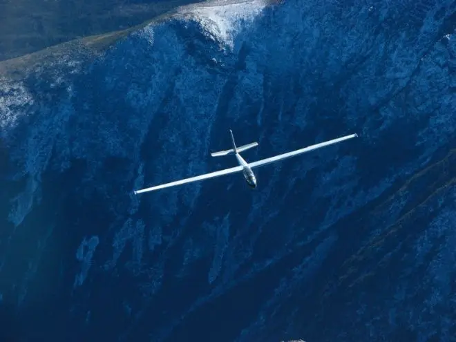
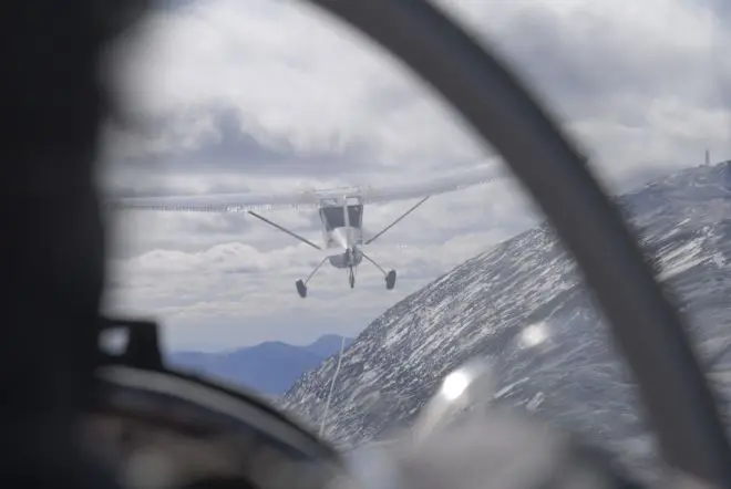
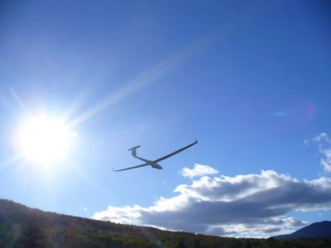
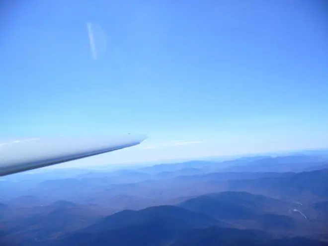
Gliders on the grid, lenticulars over the valley, and the summit from 30,000 feet.
Camp information
The information package, the current LOA, the airfield procedures and the moving-map files are all on the pilot information pages.